History of China
Chinese civilization is one of the world's oldest, boasting thousands of years of recorded history originating along the Yellow River. Legend tells of the Xia Dynasty, but the Shang Dynasty (c. 1600–1050 B.C.) provides the earliest written records and advanced bronze work. The nation was first unified in 221 B.C. by Qin Shi Huang, who began the imperial era and built early sections of the Great Wall. Subsequent dynasties, such as the Han, Tang, and Ming, flourished, developing technologies like paper and printing while trading along the Silk Road. The last imperial dynasty, the Qing, collapsed in 1912, marking the end of millennia-old dynastic rule. Following this, the People's Republic of China was proclaimed in 1949 under Communist Party leadership after victory in a civil war.
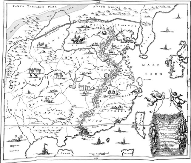
Geography of China
China’s geography is marked by a "three-step staircase" topography, descending from the high Tibetan Plateau in the west to the low-lying agricultural plains in the east. Roughly two-thirds of the country consists of mountainous or arid terrain, including the Gobi Desert and Himalayan mountains. The densely populated eastern regions are characterized by fertile alluvial plains, featuring the Yangtze and Yellow Rivers. Generally, the west is arid and mountainous, while the south is subtropical, creating diverse climates and ecosystems that significantly influence population density and agriculture across the nation
- Tibetan Plateau
- Known as "the roof of the world," this is the highest and largest plateau on Earth, averaging over 4,000 meters in elevation. It acts as a massive water tower, with many major Asian rivers—including the Yangtze and Yellow Rivers—originating here.
- Yangtze River
- As the longest river in Asia and the third-longest in the world, the Yangtze flows through central China, serving as a critical artery for transportation, agriculture, and hydroelectric power
- Yellow River
- Often called the "cradle of Chinese civilization," it flows through northern China and is renowned for the fertile, yellow silt it deposits, which formed the North China Plain. However, it is also known historically for devastating floods.
- Himalayan Mountain Range
- Forming part of China's border with India and Nepal, the Himalayas, including Mount Everest, create a natural, impassable barrier in the southwest and influence climate patterns across the country.
- North China Plain
- This is one of the most populated and agriculturally productive regions in China, built up by the yellow soil from the Yellow River. It is historically considered the agricultural heartland, producing wheat, corn, and cotton.